
I'M GLAD YOU'RE HERE!
Whether you're in need of some recommendations for a new restaurant, movie theatre, local hang out spot, brewery/bar, delicious pizza, farmers market, shopping mall, beach, yoga studio, gym, etc. I got you covered!
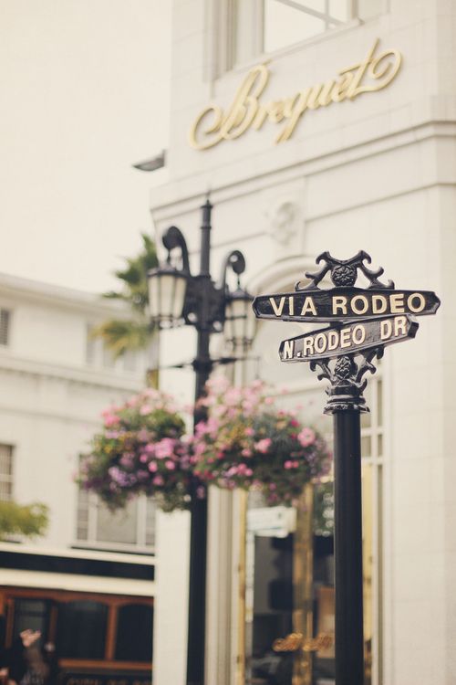
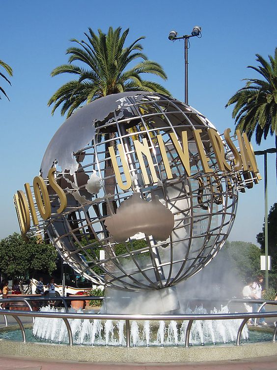
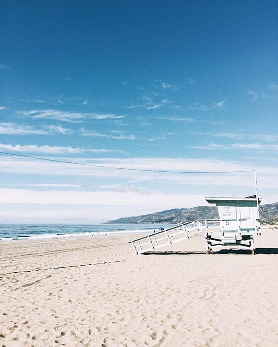
Local california


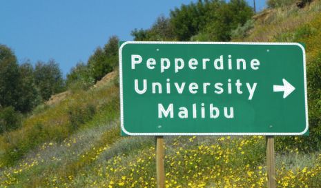
FIND A SCHOOL:
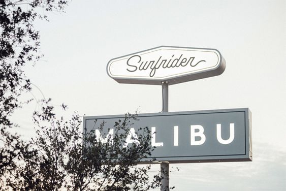
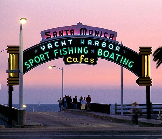
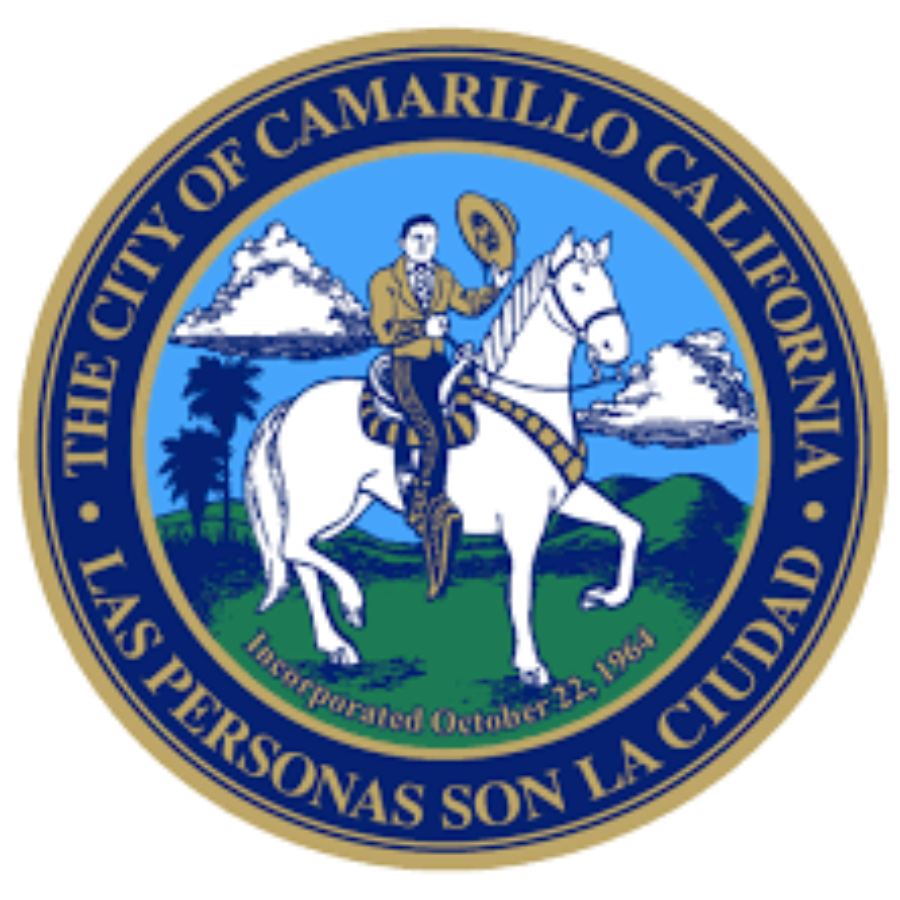
Local Southern California communities- Click on picture to learn more


California Utility Services
Please click the city links below for correct utility service.
Community Involvement & Upcoming Events

Santa Monica Mountains- Hiking and Recreational Info

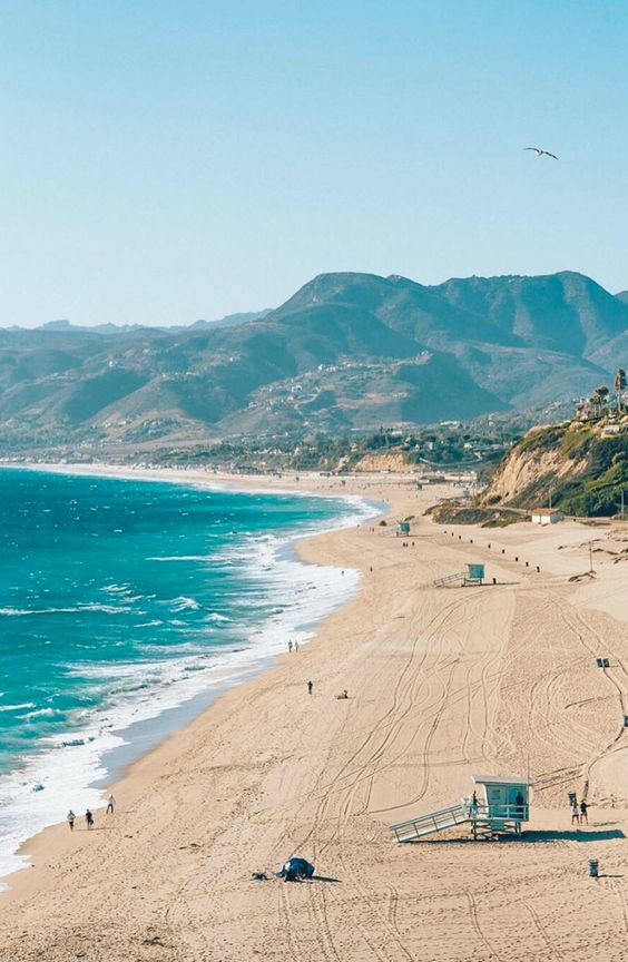
Photo Courtesy of Kirsten Brinkman. -Malibu, CA
More than 500 miles of public trails crisscross the Santa Monica Mountains, offering a lifetime of exploration. We’ve got short, flat loops for first timers and rugged, steep climbs that lead to 360-degree views of the mountain range and Pacific Ocean. Many of our trailheads are a short drive from the 101 or Pacific Coast Highway, providing an easy escape from the urban jungle to natural wild places.
Here are some of our favorite hikes to get you started:
Mishe Mokwa Trail to Split Rock: Moderate, 3.5 miles round trip
Traversing riparian, coastal sage scrub, and chaparral, this trail offers wonderful views of Carlisle Canyon and Balanced Rock. Split Rock’s oak grove offers a shaded spot for picnicking.
Trailhead: Circle X Ranch
Satwiwa Loop Trail: Easy, 1.5 miles round trip
Stroll through the grasslands and chaparral of the Satwiwa Native American Indian Natural Area. This beautiful meadow, with Mount Boney set as a dramatic backdrop, was designated for the preservation and celebration of Native American cultures.
Trailhead: Rancho Sierra Vista / Satwiwa
Solstice Canyon Trail: Easy, 2.1 miles round trip
This popular hike gently rises from the main parking area to the waterfall and Roberts Ranch House ruins, following a creek through forests of oak and sycamore.
Trailhead: Solstice Canyon
Backbone Trail: Strenuous, 65 miles one way
Following the spine of the Santa Monica Mountains, the Backbone Trail is Los Angeles’ premier long-distance trail. While thru hiking the trail with overnight camping is currently not possible, many people complete the trail over the course of many day trips, including NPS-sponsored guided hikes each winter and spring.
Learn More: Backbone Trail
Cheeseboro Canyon Trail to Modelo Trail Loop: Moderate, 3 miles round trip
Follow a flat old ranch road through valley oak savannah before ascending up a ridge for panoramic views of the Simi Hills during your return to the trailhead.
Trailhead: Cheeseboro & Palo Comado Canyons

Map of the entire Santa Monica Mountains National Recreation Area
Mountain Biking

Photo Courtesy of Kirsten Brinkman. -Westlake Village, CA
Trails Open to Mountain Bicycles
in Santa Monica Mountains National Recreation Area
General rule of thumb to follow while mountain bicycling in the Santa Monica Mountains: If a trail is over 4 feet wide, it is a fire road and open, unless signed “Closed.” If a trail is less than 4 feet wide, it is a single track and closed, unless signed “Open.”
POINT MUGU-THOUSAND OAKS AREA
Los Robles Trail
Wendy Trail
Big Sycamore Canyon Fire Road
Overlook Fire Road & North Overlook Fire Road Ranch Center Road
Wood Canyon Fire Road
Guadalasca Trail
Wood Canyon Vista Trail
Sage Trail
CIRCLE X RANCH
Backbone Trail to Tri Peaks Junction
LEO CARRILLO AREA
Yellow Hill Fire Road
ZUMA CANYON
Zuma Ridge Trail Zuma Edison Road–
Zuma Cyn Connector Trail–Kanan Edison Road
MALIBU CREEK STATE PARK-CASTRO AREA
Bulldog Fire Road Castro Peak Fire Road High Road
Low Road
Mott Road
Crags Road
Mesa Peak Fire Road Liberty Canyon Trail
CHEESEBORO/PALO COMADO CANYONS
Modelo Trail
Cheeseboro Canyon Trail Sulphur Springs Trail Canyon View Trail
Baleen Wall Trail
Palo Comado Canyon Trail Ranch Center Trail
Palo Comado Connector
TOPANGA STATE PARK
East Topanga Fire Road Eagle Springs Fire Road Eagle Rock Fire Road Fire Road 30
Caballero Canyon Trail
Temescal Ridge Fire Road (North of Skull Rock)
Trailer Canyon Fire Road
Loop Road (Will Rogers State Historic Park)
Rogers Road Trail/Backbone Trail